Procedural face generator #
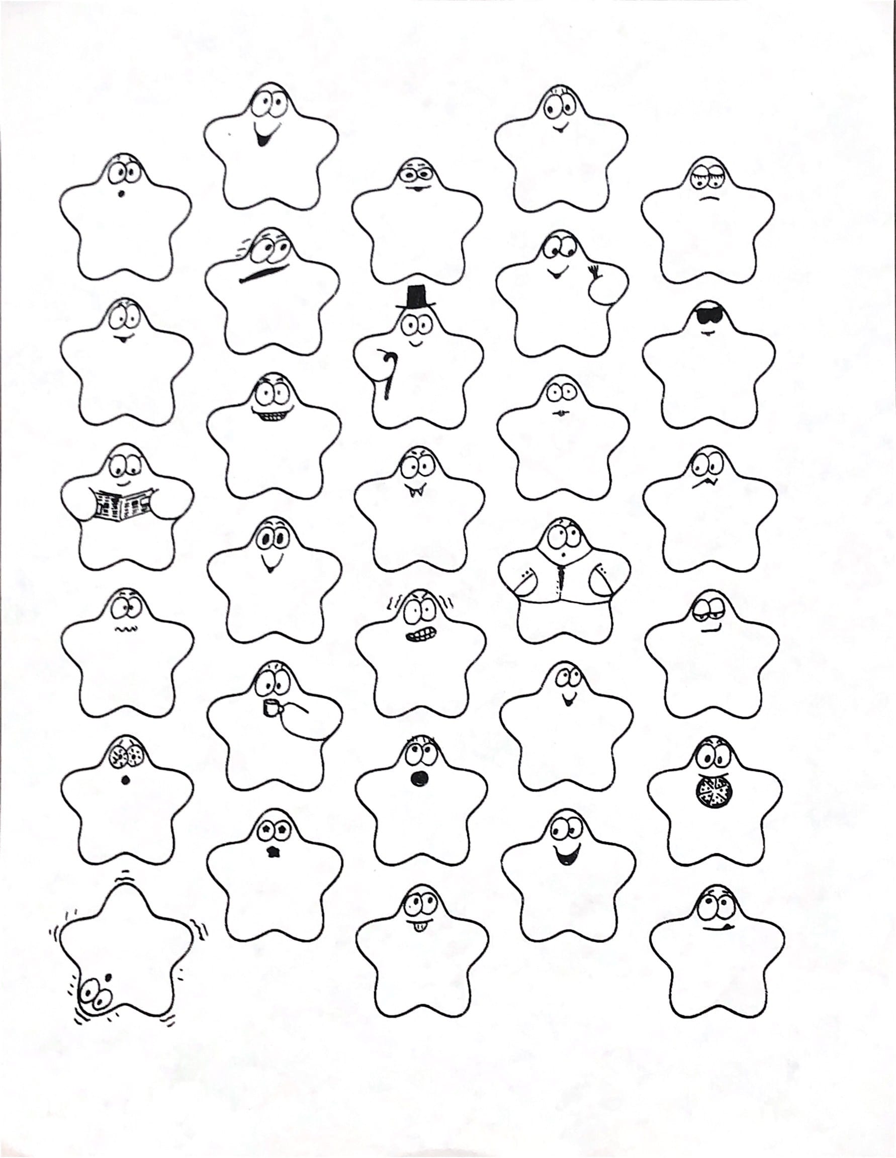
I've had my red blob logo since 1987. I doodle various facial expressions on the blobs, and also experiment with mathematical representations.

Labels: project
Mapgen4: beta #
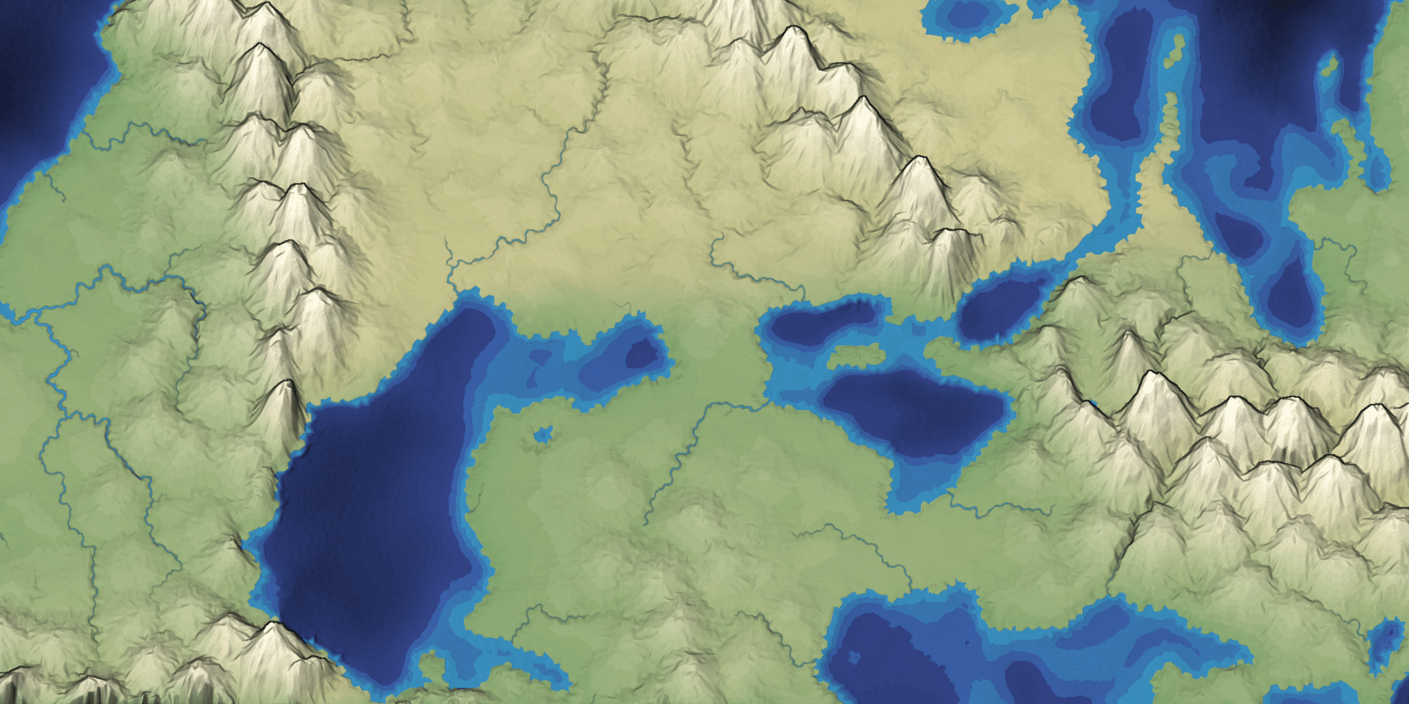
I put mapgen4 on hold a few weeks ago because I was having some seemingly random unreproducible freezes, where it would still calculate the map updates but it wouldn't draw them. I had tried everything (or so I thought), gotten frustrated, and taken a break. I often find that I need to take a break from something, and then when I get back to it, I figure out the problem. During this break I've been "productively procrastinating", working on several other things that I've wanted to do, including map generation on a sphere, a procedural face generator, improving touch support on many of my pages, and improving my tower defense pathfinding page. I ended up also experimenting with a better interface for my mouse-drag code, a recursive renderer in Vue.js, and a D3 + Vue.js experiment in which Vue keeps track of dependencies for D3.
Labels: mapgen4
Tower Defense page: distance fields #
One reason I prefer having web pages instead of videos or academic papers is that they're easy to update over time. I'm still updating pages I wrote over 20 years ago.
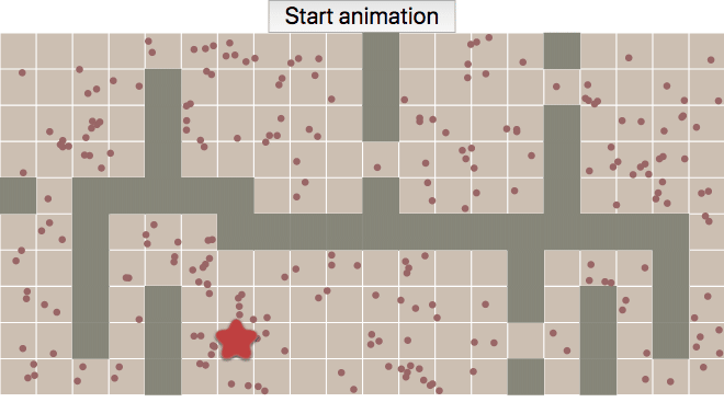
Yesterday I was reviewing the Tower Defense page (2014) and decided the gap between the diagram at the top:
Labels: making-of , pathfinding
Touch events on the pathfinding pages, part 2 #
I've been avoiding mapgen4 for a few weeks now. I ran into a really annoying bug that frustrated me enough that I wanted to give up. I still need to get back to it, but I'm “productively procrastinating”. Instead of sitting around being frustrated, I'm getting other things done: map generation on a sphere, a procedural face generator, and adding touch event support to my pathfinding pages.
When I wrote the A* tutorial, I didn't consider touch events at all. The traffic I got from mobile/tablet was small. I soon added some touch event handling, but it was incomplete. I figured I'd fix it later. Well, it's been four years now. It's time to fix it finally! (Update: I think my touch event handlers used to work, but I think they stopped working when Chrome 56 and Safari 11.1 changed event handlers to default to passive sometime in late 2017 / early 2018; see this and this)
Labels: making-of
Map generation on a sphere, part 2 #
I spent 9 days working on map generation on a sphere. The first 2 days were geometry: points, triangles, polygons on a sphere. The next 7 days were maps:
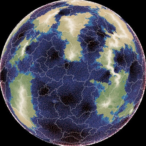
- elevation: mapgen4's noise approach looked ok, but I wasn't happy with it, so I switched to using plate tectonics, which looked nice
- moisture: mapgen4's evaporation+wind+rainfall relied too much on a grid, so I wasn't able to use it; I ended up assigning biomes randomly
- rivers: mapgen4's binary tree forest works on graphs, and worked great on a sphere
- rendering: mapgen4's elevation rendering uses outlines and a custom projection which are designed for flat maps, and I wrote a new simple renderer
I wrote up my notes and am going back to working on mapgen4. I'm also putting all the (messy) code up on github.
Map generation on a sphere, part 1 #
I ran into a showstopper with mapgen4. It unpredictably "freezes" in the sense that inputs have no effect, even though both the map generation and rendering are running. I'm taking a break from that for ProcGen 2018 - 9 days to work on a procedural generation project.
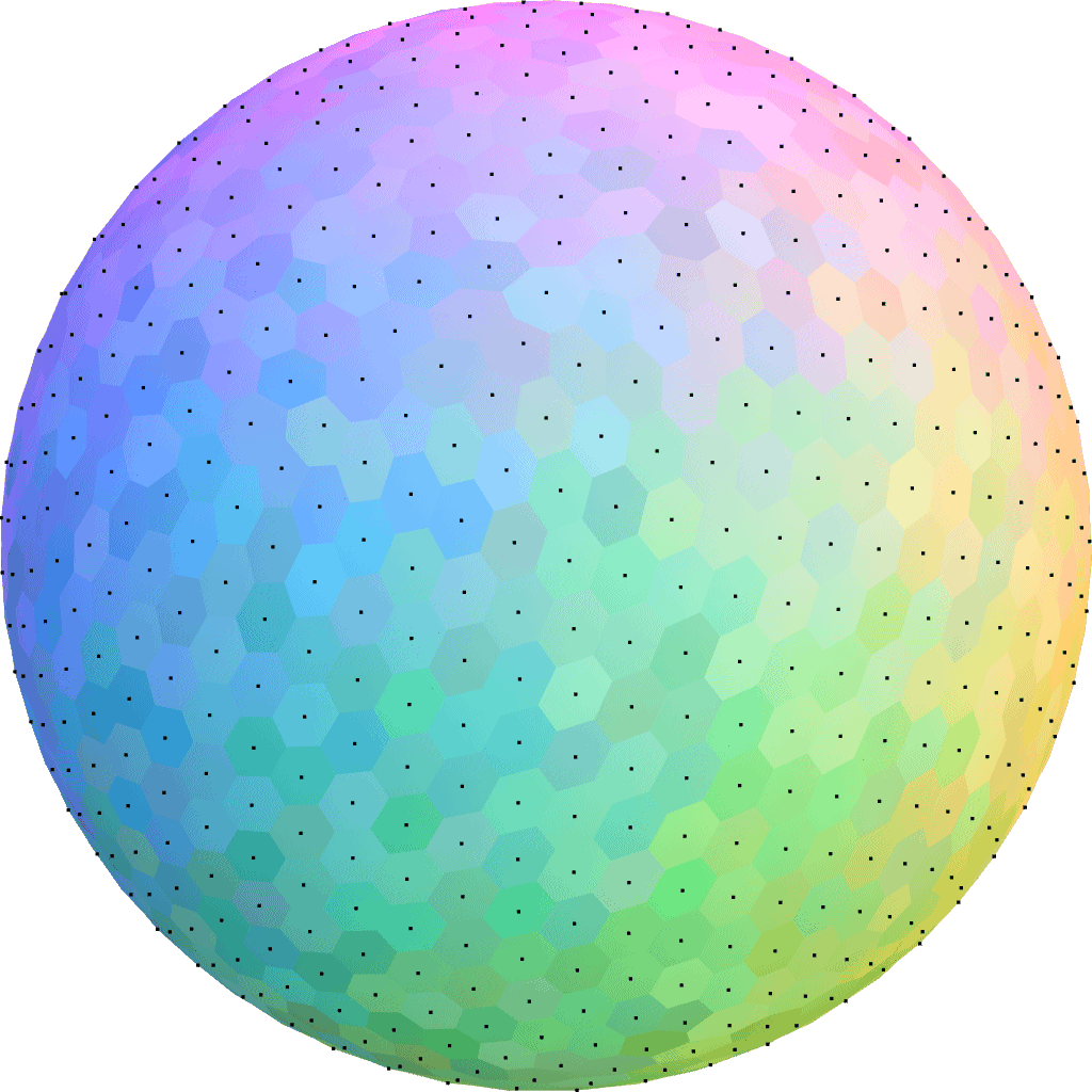
I decided to play with procedural map generation on a sphere. I've long wanted to try generating entire planets instead of flat maps. See this project and this project to get an idea of what I'm wanting to learn how to do.
Mapgen4: river representation #
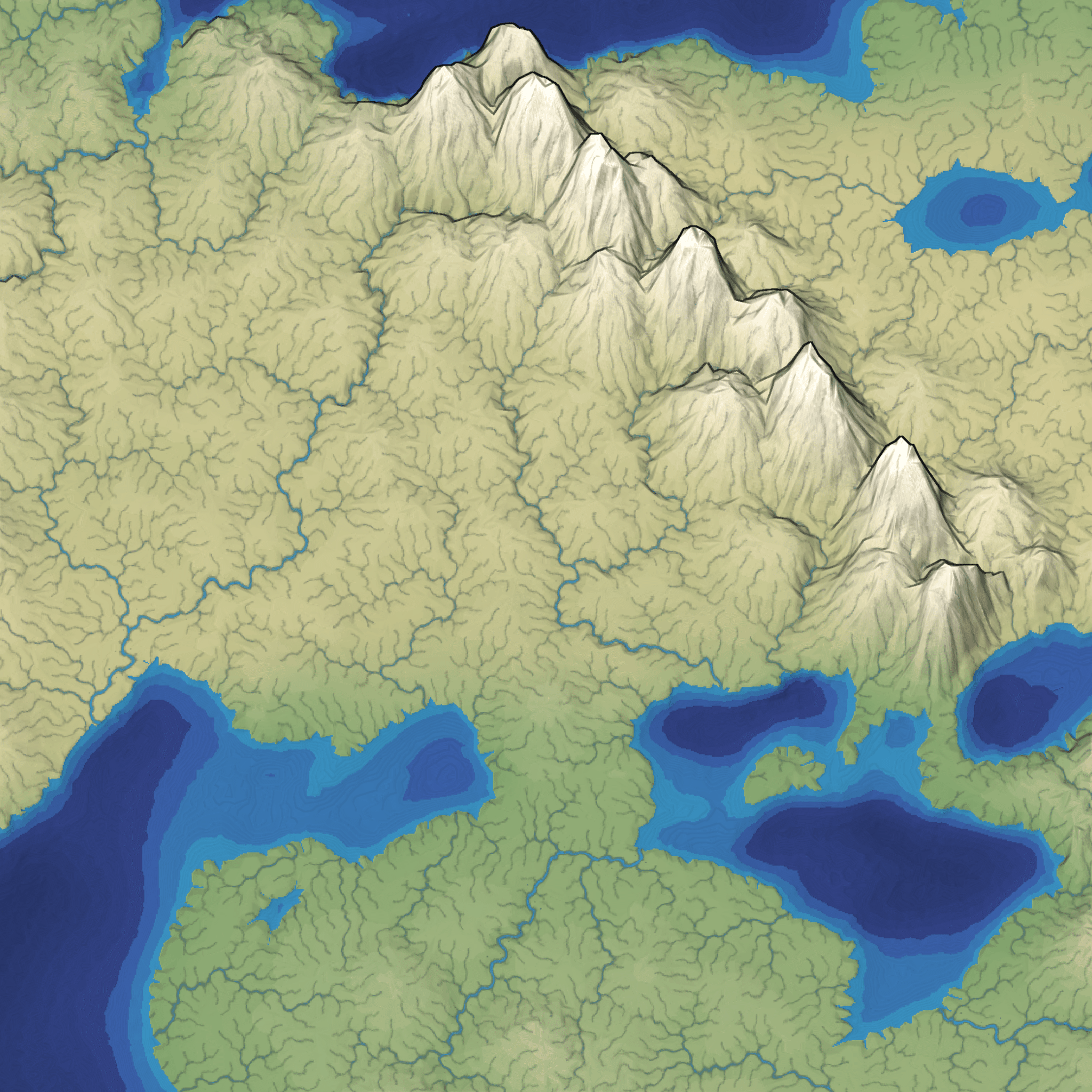
I've reached the point in mapgen4 development when I just want it to be over. So I'm cutting all remaining features and am focusing on finishing. Most of the remaining work isn't interesting enough to blog about so I'm going to describe the river representation I started using last year. It's worked very well for the needs of this project. Take a look at the rivers in this screenshot:
Mapgen4: outlines #
Usually when I make a map generator I focus on the underlying algorithms and data. The data will be used by a game project, so the visuals are meant to be informative and not necessarily pretty. For this project I wanted to make the output pretty. I previously blogged about the unusual projection I'm using for the graphics. It allows you to see the rivers and coastlines top-down but see the mountains from the side. There are two other interesting graphical tricks I'm using to make the maps prettier.
Mapgen4: bug fixes #
The past week has been troubleshooting. The biggest problem was water pouring out of my house's electrical panel, but that's not what this blog post is about. I've been working on bugs in the map generator. There are some bugs I've been putting off because I didn't understand them.
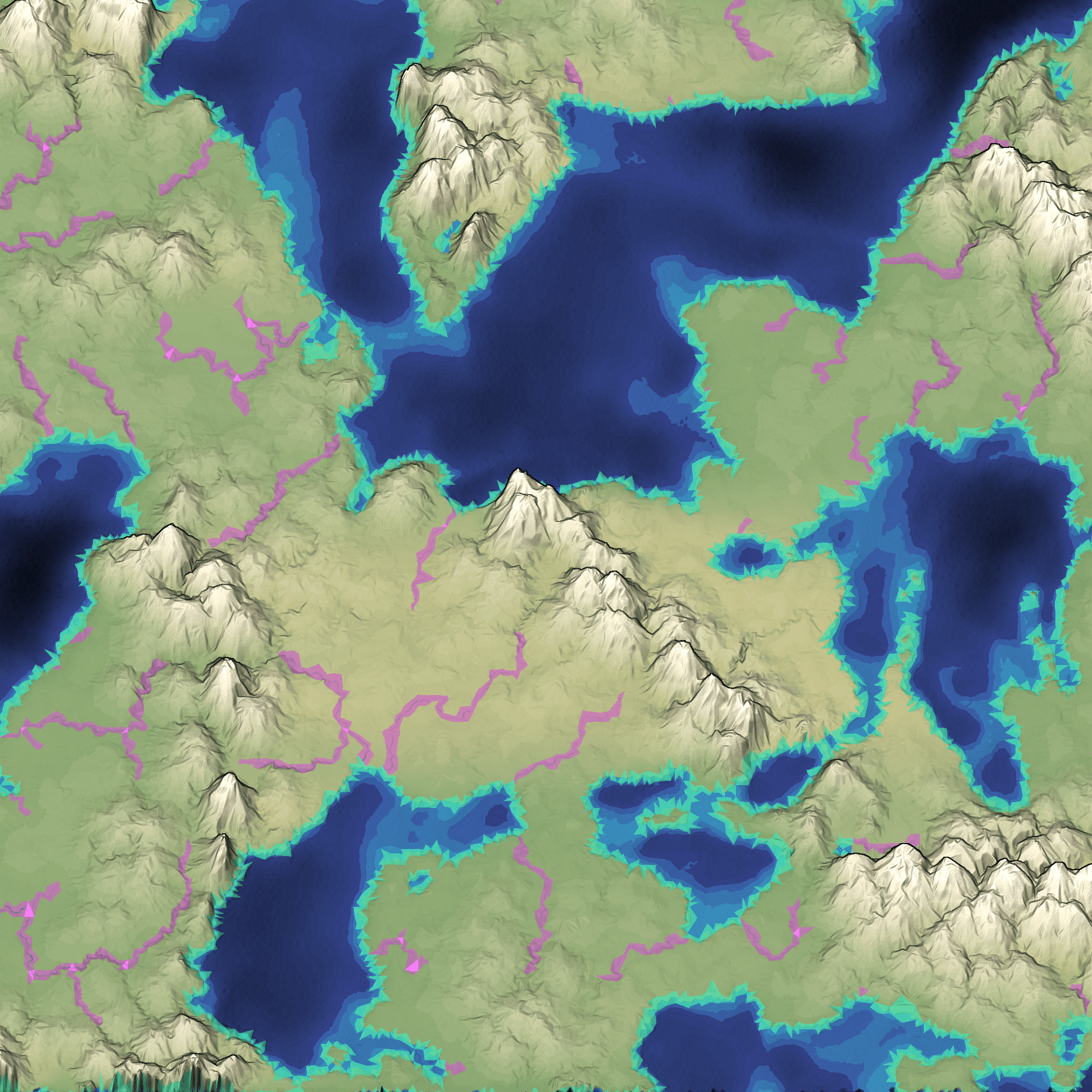
The first problem was that rivers haven't been reaching the ocean. This has been a problem for a while, but I didn't want to fix it until I stopped changing the algorithm. I'm mostly happy with the river algorithm now so I decided to investigate. One thing that the Game AI Summit at GDC emphasizes is building debug visualizations; I'm a fan of that technique and tried it here:
Mapgen4: oblique projection #
One of my goals for mapgen4 was to explore non-realistic approaches, both to map generation and to map rendering. I wanted to explain the unusual projection I'm using.
For procedurally generated wilderness maps, it's very common to see a top-down view, often using colors to represent height or biomes:
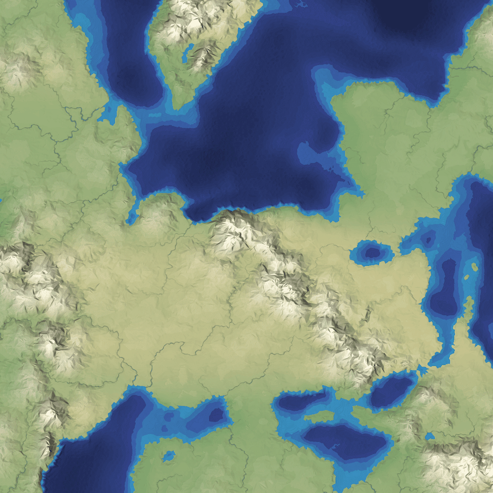
It's simple to implement, especially in 2D, and it shows the areas of the map, including coastlines and rivers and lakes. You can see where the mountains are, but only because of the color and lighting.