Improving Mapgen4's boundaries, part 3 #
In the last post I described how I investigated and fixed several bugs in mapgen4's boundary points and rendering. I was a bit annoyed at myself because I didn't initially follow great practices while debugging, so it took longer than it should have. But I was also glad I found and fixed the bugs.
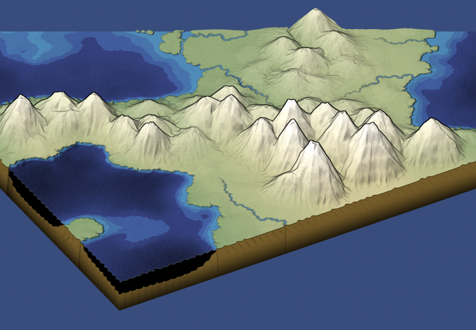
One reason I wanted to try a double boundary layer was that I thought it might be neat to "fold" the edges downwards a bit, so that when you look at the map from the side, it'd have some depth. So I tried it, and … it worked! And it was so easy (after I fixed the earlier bugs). I then changed the underground color and added a faint line at the fold:

Improving Mapgen4's boundaries, part 2 #
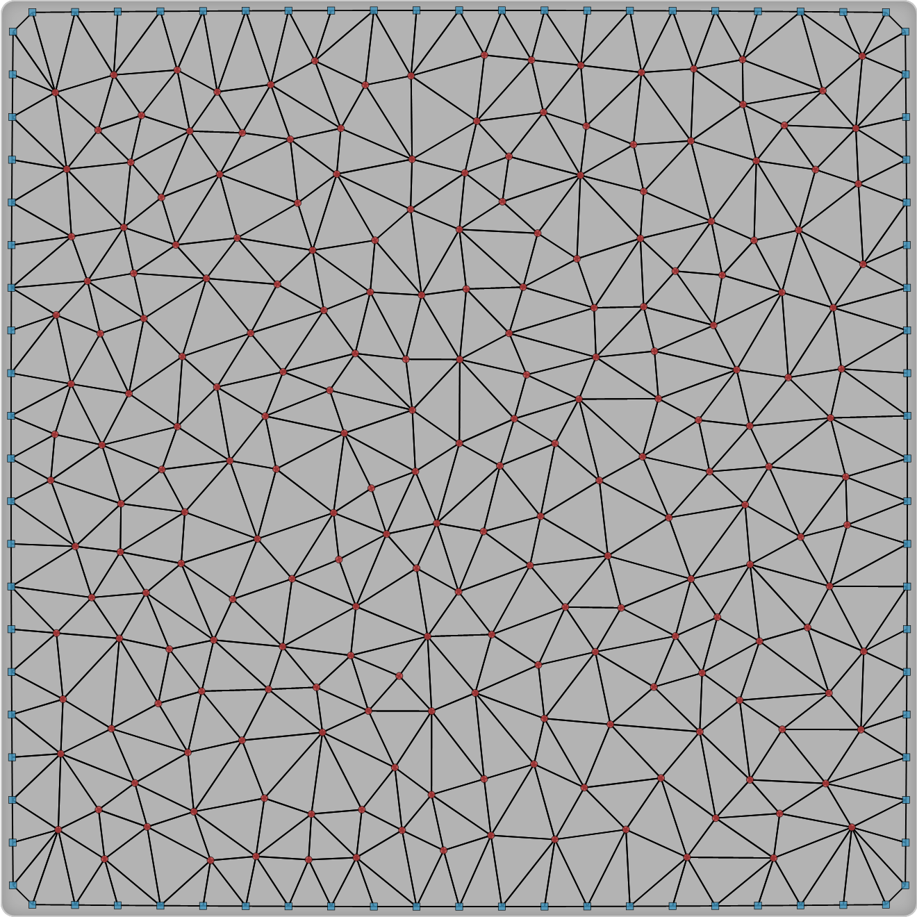
Last time I mentioned that I made some changes to my dual-mesh helper library. I use it for my Delaunay/Voronoi map and art projects. Part of the motivation was that I want to work on some new map projects, and wanted to fix some of the issues with the library. I then realized I need to test out the changes in mapgen4.
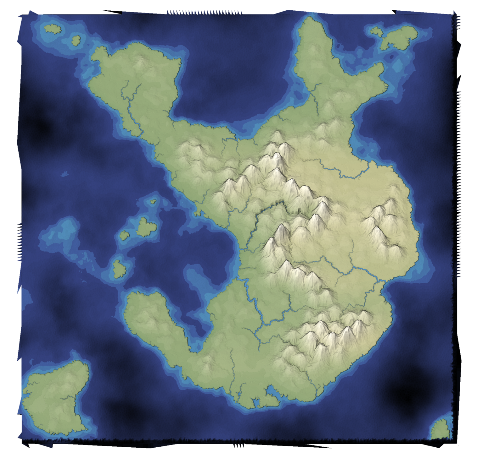
I made a list of mapgen4 bugs I wanted to fix. The main one I'm going to talk about here is that the edges of the map are jagged. Why didn't anyone notice? Because I set the default zoom level to be slightly zoomed in, so that you don't see the edges!

Improving Mapgen4's boundaries, part 1 #
I've been wanting to refamiliarize myself with the mapgen4 code because I'd like to do some new map projects and will want to reuse some of the code from my existing projects.
The first thing I decided to work on was my dual-mesh library. I had originally written it to be a generally useful wrapper around Delaunator. Since then, I wrote the Delaunator Guide, which has all the same functions, but in a way that you can adapt to your own needs. I also realized that by making this library public, I was making it harder for my own needs. So version 3 of this library is going to be primarily for my own needs.

Explaining the Hexagon Layout class #
On the Hexagon Implementation page I have a Layout class that controls how to convert back and forth between hexagonal coordinates and screen coordinates. It has parameters (size.x, size.y, origin) that aren't explained on the hexagon concepts page. That's in part because they complicate the explanation and aren't hexagon-specific. The size is a standard scale transform and the origin is a standard translate transform. Although I have some explanation on the implementation page, it's not very good. I made some improvements: