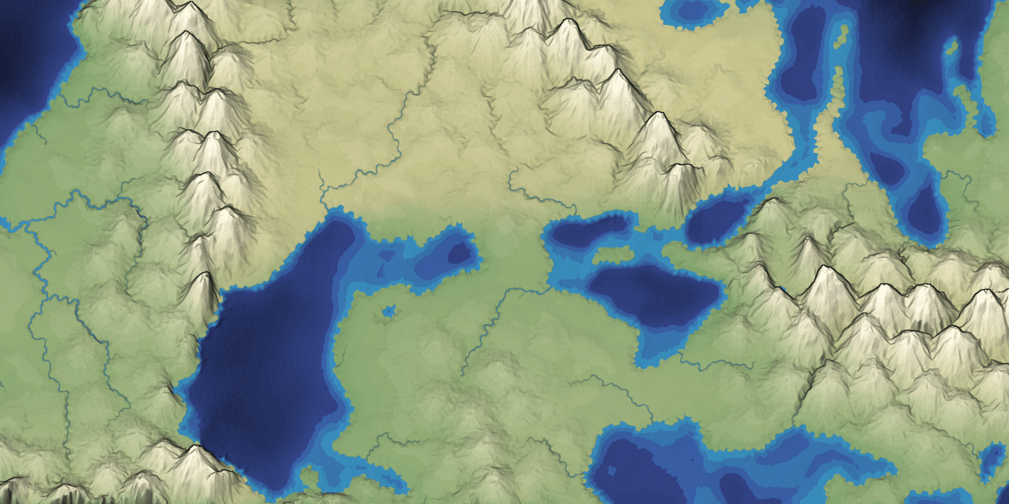
Improving Mapgen4's boundaries, part 3 #
In the last post I described how I investigated and fixed several bugs in mapgen4's boundary points and rendering. I was a bit annoyed at myself because I didn't initially follow great practices while debugging, so it took longer than it should have. But I was also glad I found and fixed the bugs.
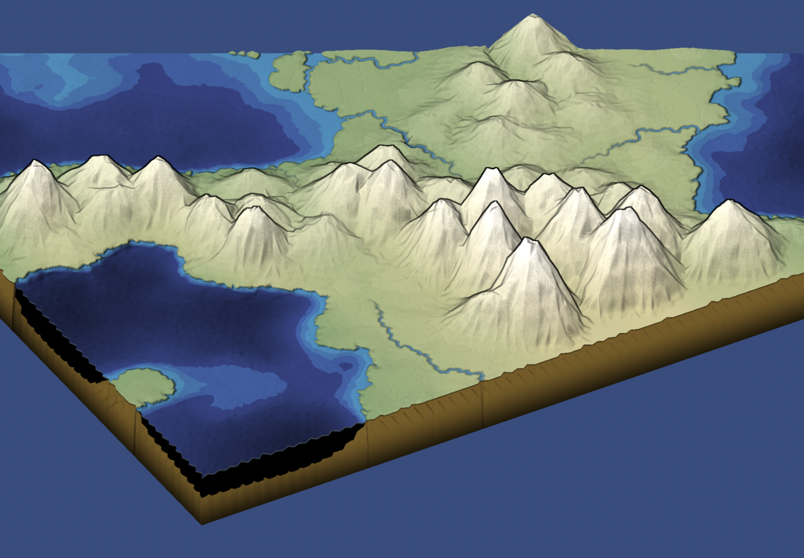
One reason I wanted to try a double boundary layer was that I thought it might be neat to "fold" the edges downwards a bit, so that when you look at the map from the side, it'd have some depth. So I tried it, and … it worked! And it was so easy (after I fixed the earlier bugs). I then changed the underground color and added a faint line at the fold:
Experimenting with outlines #
I posted recently about how I often do one-week projects to learn and experiment. I don't have a strict one-week time limit. Sometimes I'll extend a project or come back to it after I've learned something new.
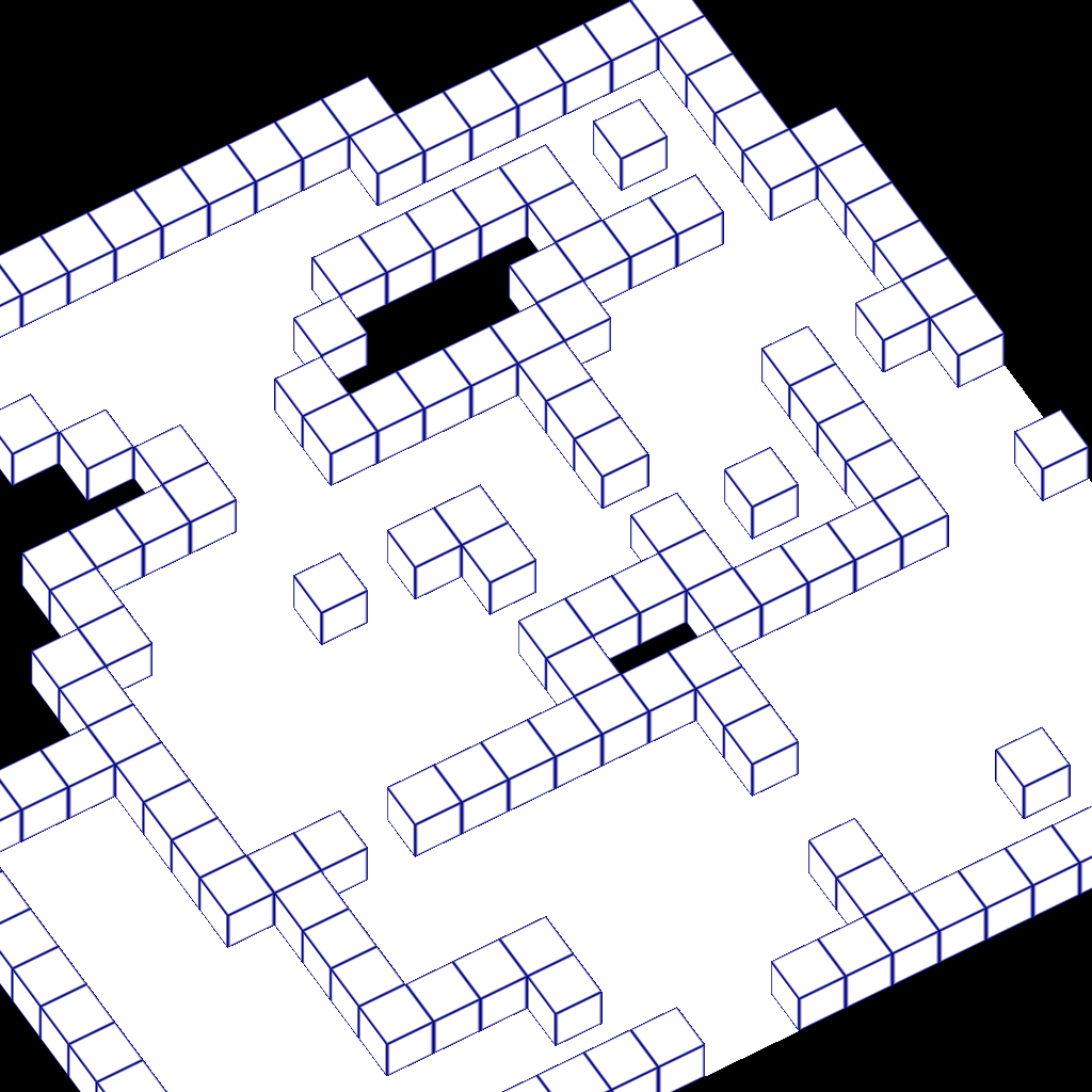
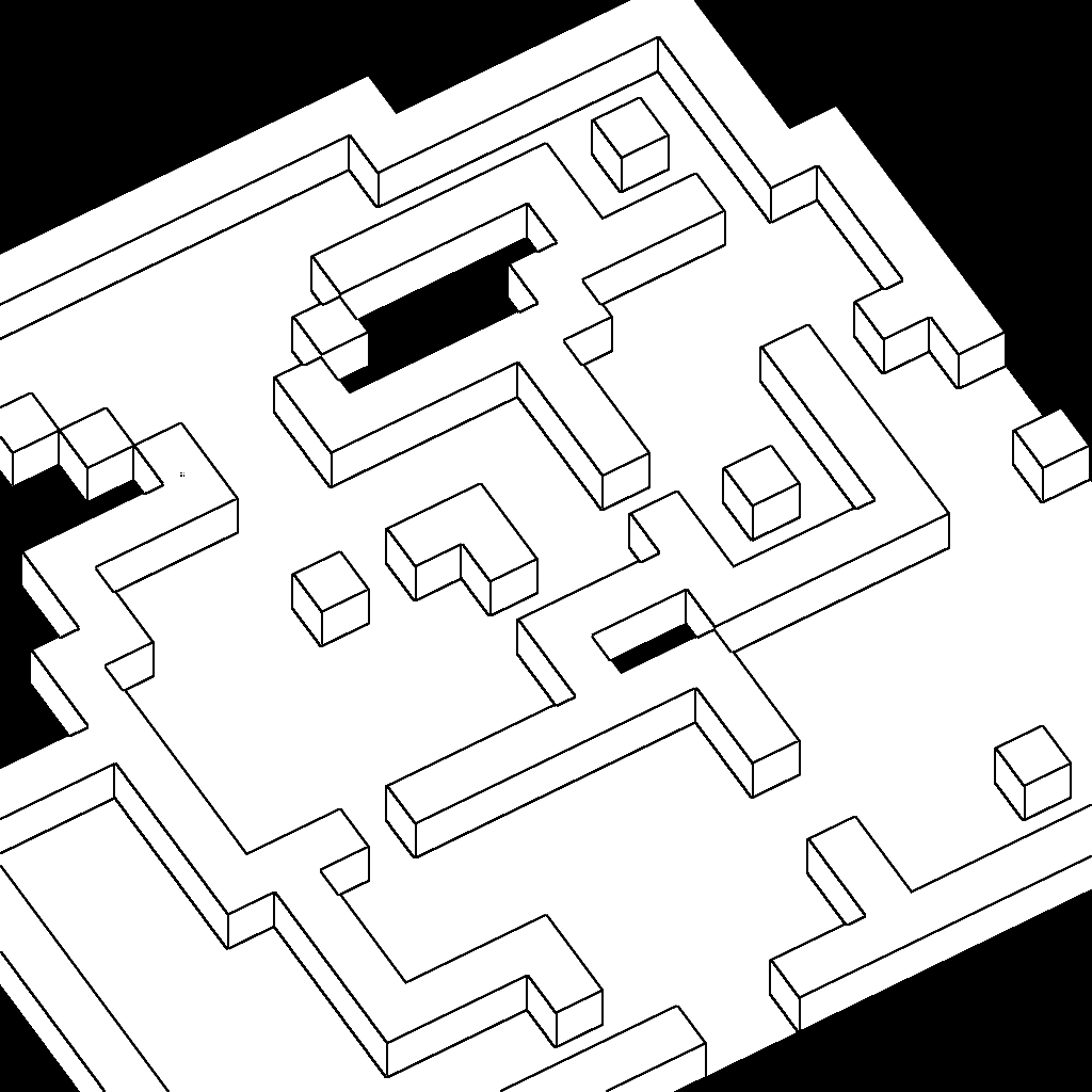
Ten weeks ago I had a one-week project in which I wanted to draw outlines on an isometric view of a dungeon game. I didn't want to outline each block, which could be implemented easily by editing the sprites. Instead, I wanted to outline the larger units. Here's a comparison:
Labels: graphics
Improving the 2D Noise page #
One of my goals for 2019 is to improve my existing pages. Yesterday I decided to work on my old 2D noise page. We normally use Perlin/Simplex noise to make terrain heightmaps, but on that page I used Fourier transforms instead. Perlin/Simplex noise are a fast approximation of the things you can get from Fourier transforms.
The 3D renderer on that page always bothered me. It was one of my early experiments with WebGL. I had never been able to figure out exactly what I didn't like or how to fix it.
I decided to improve the renderer.
Mapgen4: outlines #
Usually when I make a map generator I focus on the underlying algorithms and data. The data will be used by a game project, so the visuals are meant to be informative and not necessarily pretty. For this project I wanted to make the output pretty. I previously blogged about the unusual projection I'm using for the graphics. It allows you to see the rivers and coastlines top-down but see the mountains from the side. There are two other interesting graphical tricks I'm using to make the maps prettier.