Mapgen4: rainfall #
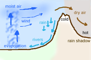
Last time I rewrote elevation painting. The next thing I wanted to work on was biomes. I'm not actually even sure I need them, but I wanted to try a variant of an approach I had tried in the 1990s and again in 2009:
Mapgen4: elevation painting, revisited #
A few weeks ago I described elevation painting for mapgen4. The idea was to let the user paint areas for mountains, valleys, and oceans, and then use distance fields to interpolate between the areas. After some user testing, I decided to abandon this approach.
When I originally implemented it, I painted mountains and valleys on a minimap. On the main map, I used distance fields to transition between the mountain and valley areas.
Mapgen4: river appearance #
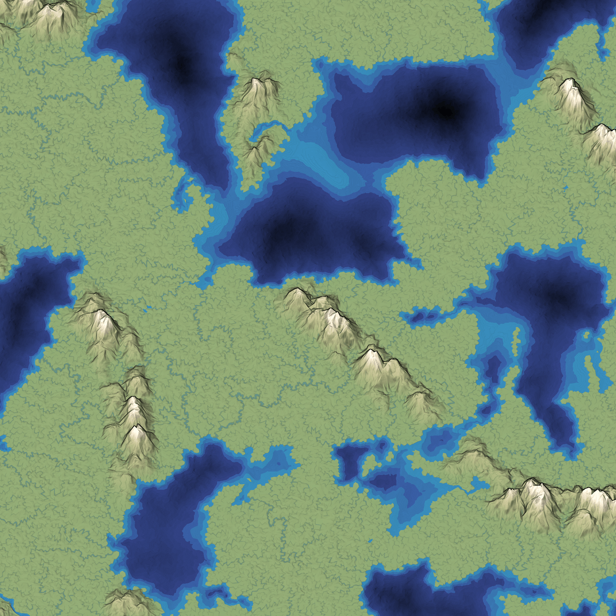
Earlier this week I moved all the heavy computation into its own thread. The rest of the week I wanted to work on rivers. The last time I worked on rivers, I replaced the slow CPU-based renderer with a fast GPU-based renderer. However, the output was ugly:
Mapgen4: threads #
Today I am making mapgen4 multithreaded. I'm trying to blog more often, so I'm putting my notes here instead of keeping them to myself.
Multithreaded Javascript? Yes, with Web Workers. I've known about these for a while but I've never used them until now. The basics:
- Web Workers are more like separate processes rather than threads. They have their own memory. Some browsers support shared memory but it's not something I can count on right now. Introduction and reference.
- Workers can communicate by sending a message to another worker. The message is a data-only object (no functions or resources). Details.
- You can also transfer data to another worker, if it's a contiguous array. This is particularly useful for large arrays of numbers such as WebGL data or, in my case, mapgen4 data including the Voronoi mesh. It avoids a copy.
I find that I learn best by reading a little bit and then playing with something. So I decided to make a simple worker and try it out.
Mapgen4: elevation painting #
Last week I described the plan for elevation in mapgen4. The goal was to allow painting mountains, valleys, and oceans on the map. I used a jittered grid to pick positions for mountain peaks, and then implemented three distance fields:
- Distance from closest mountain peak. I use this to create distinct mountains instead of noise-based continuous mountains.
- Distance from coastline. On the ocean side, I use this to make shallow water near the coast. On the land side, I use this to keep mountains away from coasts. (not sure I should)
- Distance from mountain ranges. I use this to make a gradual drop from mountains to valleys.
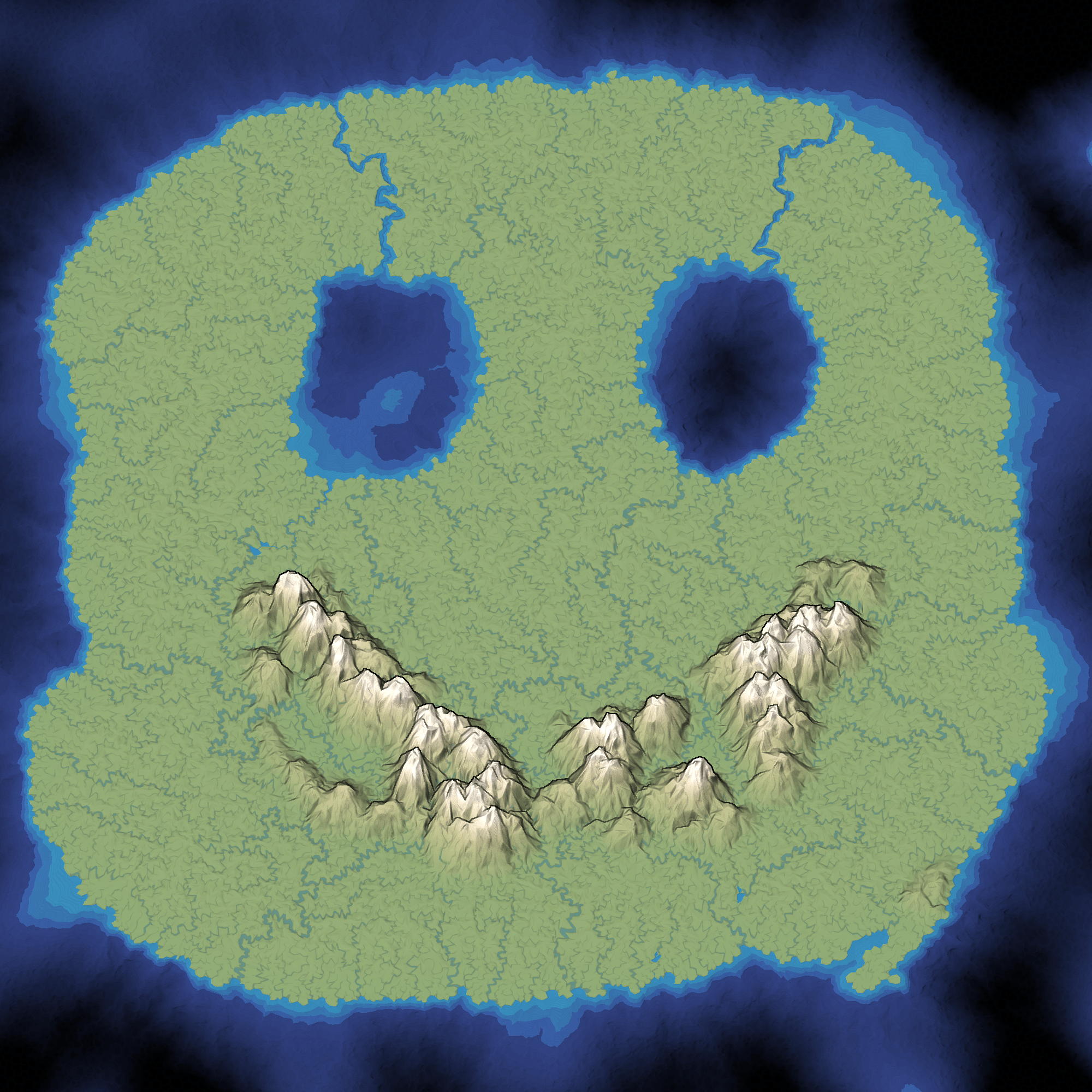
I continued optimizing. The main map regeneration is now around 400ms for the one-time initialization and 120ms to regenerate the map while painting. I implemented a simple paint interface, with small/medium/large brushes and ocean/valley/mountain tools. It works on touch devices too, and it feels pretty good on a tablet.
Mapgen4: elevation #
Last week I posted about mapgen4, the procedural map generation project I'm working on this summer. I had been trying to limit the scope of the project, and also shifting my thinking from maps for a game to maps that look pretty. I've been spending a lot of time optimizing and restructuring the code for this. It occurred to me that I'm approaching elevation all wrong.
Mapgen4: goals #
I've been posting on Twitter but was reminded that I should be posting more to my blog. I don't want Twitter to be the only place to read about what I'm doing.
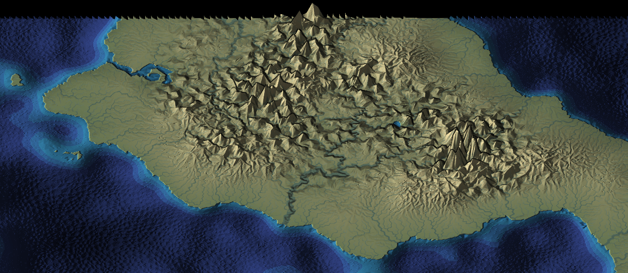
Back in 2010 I had written an influential article about map generation, making maps specifically designed for one game. I made a Flash demo called mapgen2. At the time I didn't emphasize enough how each of the layers of the process could be different. Many people took the recipe as the way to do it, even though the recipe was specifically for the needs of that one game. In mapgen2 the rivers depended on elevation which depended on coastlines. But it could've been coastlines depended on elevation which depended on rivers. There are lots of different ways to glue the pieces together. In 2017, I wanted to go back and try a different recipe with the same ingredients (Voronoi, elevation, rivers, biomes, etc.). For a while I thought the new project, mapgen4, will do all the things! I experimented with lots of things but the task seemed overwhelming. I decided to step back and limit my scope. I rebuilt the same algorithms with the new framework (HTML5, and more efficient data structures), and launched that as an HTML5 version of mapgen2. Then I put everything on hold.
Delaunator guide #
I decided that I should work on a new tutorial this summer. What better than to take all the map experiments I worked on last summer, and turn them into a procedural voronoi-map generation tutorial? As I worked on the outline and some of the initial diagrams I realized this was going to be big: poisson disc, delaunay, voronoi, elevation, climate, biomes, oceans, rivers, towns, roads, natural resourcess, and so much more. And starting with something big often leads to failure. So I needed something smaller.
I decided that I should start with just the structural part: Delaunay and Voronoi, and how they can be used for game maps: poisson disc, jitted grid, delaunay, voronoi, graph properties, neighbors, traversal, lookups, iterators, ghost elements, centroid vs incenter vs circumcenter, rounded regions, subdivision, and more. While working on the outline for this I realized again that it was going to be big. And starting with something big often leads to failure. So I needed something even smaller.
Modifying spelling #
Back in 2016 I started a mini-project to play with neural networks. I concluded that the approach I used didn't give me enough control over the procedural generation. I wanted to revisit the project and focus on word manipulation (the problem I wanted to solve) instead of neural networks (the tool I was learning). Over the past week I read a lot, played with some code, and learned more about English. I tried modifying the spelling of existing words. Example:
Four skore and seven yirz ago our fatherz brougt forth on this kontinent, a noo nation, konceived in Liberty, and dedikated too the propozition that all men are kreated ekual.
I wrote up the results, including an interactive demo and instructions for compiling and using the software and dataset I found. I don't know what I will do with this, but it was interesting and I hope it's useful to someone.
Thoughts on explorable explanations #
Conversations with several people over the past few months have led me to wonder about the purpose of the interactive diagrams in my articles. I see lots of interactive diagrams but most are not integrated into text. The interactive diagrams are cool. They make me feel like a pioneer exploring a new medium. They're exciting! I like making them! But … that doesn't mean I should be making them.