Mapgen4: bug fixes #
The past week has been troubleshooting. The biggest problem was water pouring out of my house's electrical panel, but that's not what this blog post is about. I've been working on bugs in the map generator. There are some bugs I've been putting off because I didn't understand them.
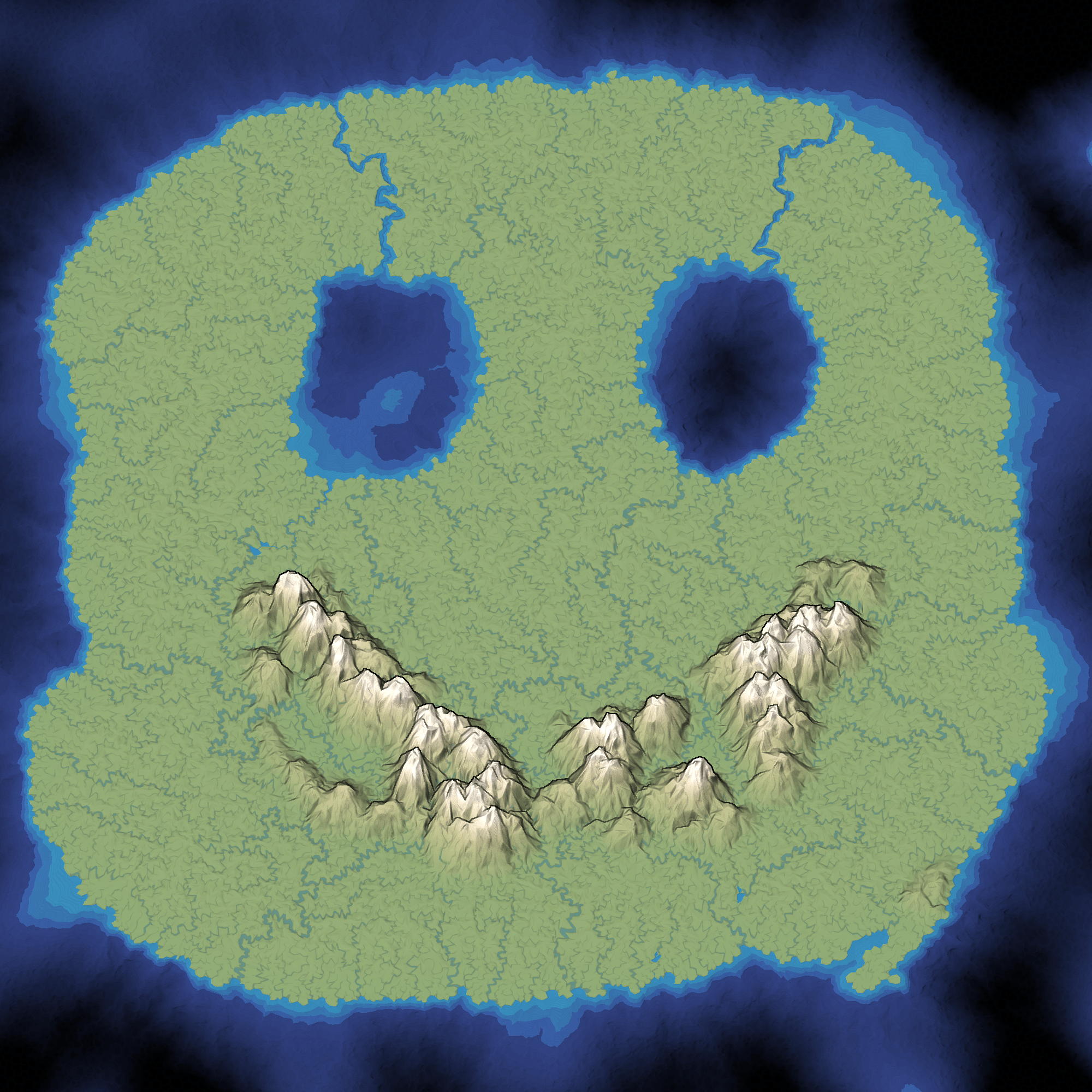
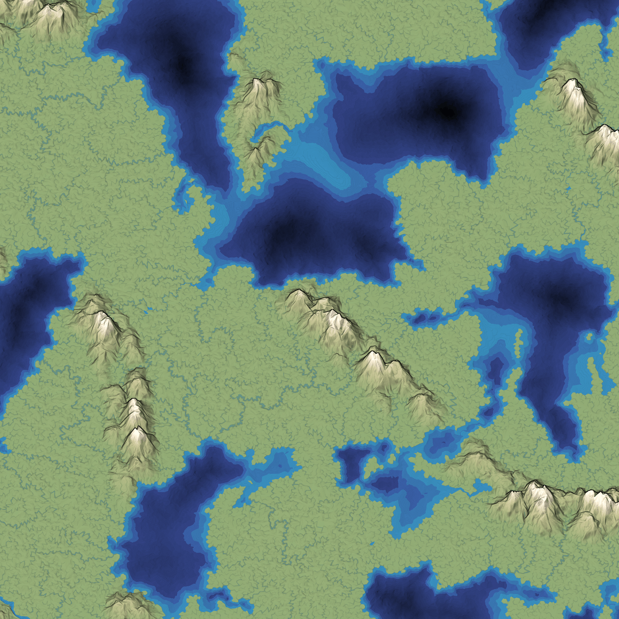
The first problem was that rivers haven't been reaching the ocean. This has been a problem for a while, but I didn't want to fix it until I stopped changing the algorithm. I'm mostly happy with the river algorithm now so I decided to investigate. One thing that the Game AI Summit at GDC emphasizes is building debug visualizations; I'm a fan of that technique and tried it here:
Mapgen4: oblique projection #
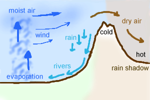
One of my goals for mapgen4 was to explore non-realistic approaches, both to map generation and to map rendering. I wanted to explain the unusual projection I'm using.
For procedurally generated wilderness maps, it's very common to see a top-down view, often using colors to represent height or biomes:
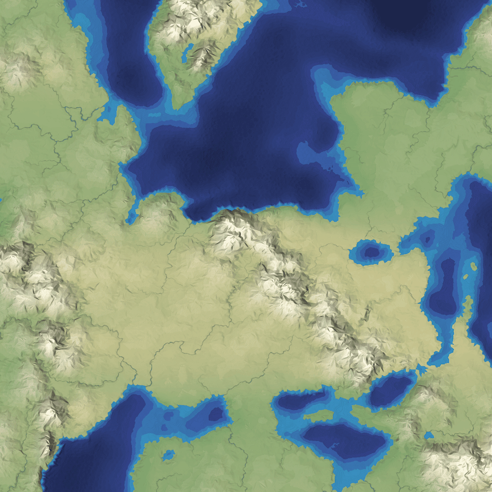
It's simple to implement, especially in 2D, and it shows the areas of the map, including coastlines and rivers and lakes. You can see where the mountains are, but only because of the color and lighting.
Mapgen4: rainfall #
Last time I rewrote elevation painting. The next thing I wanted to work on was biomes. I'm not actually even sure I need them, but I wanted to try a variant of an approach I had tried in the 1990s and again in 2009:
Mapgen4: elevation painting, revisited #
A few weeks ago I described elevation painting for mapgen4. The idea was to let the user paint areas for mountains, valleys, and oceans, and then use distance fields to interpolate between the areas. After some user testing, I decided to abandon this approach.
When I originally implemented it, I painted mountains and valleys on a minimap. On the main map, I used distance fields to transition between the mountain and valley areas.
Mapgen4: river appearance #
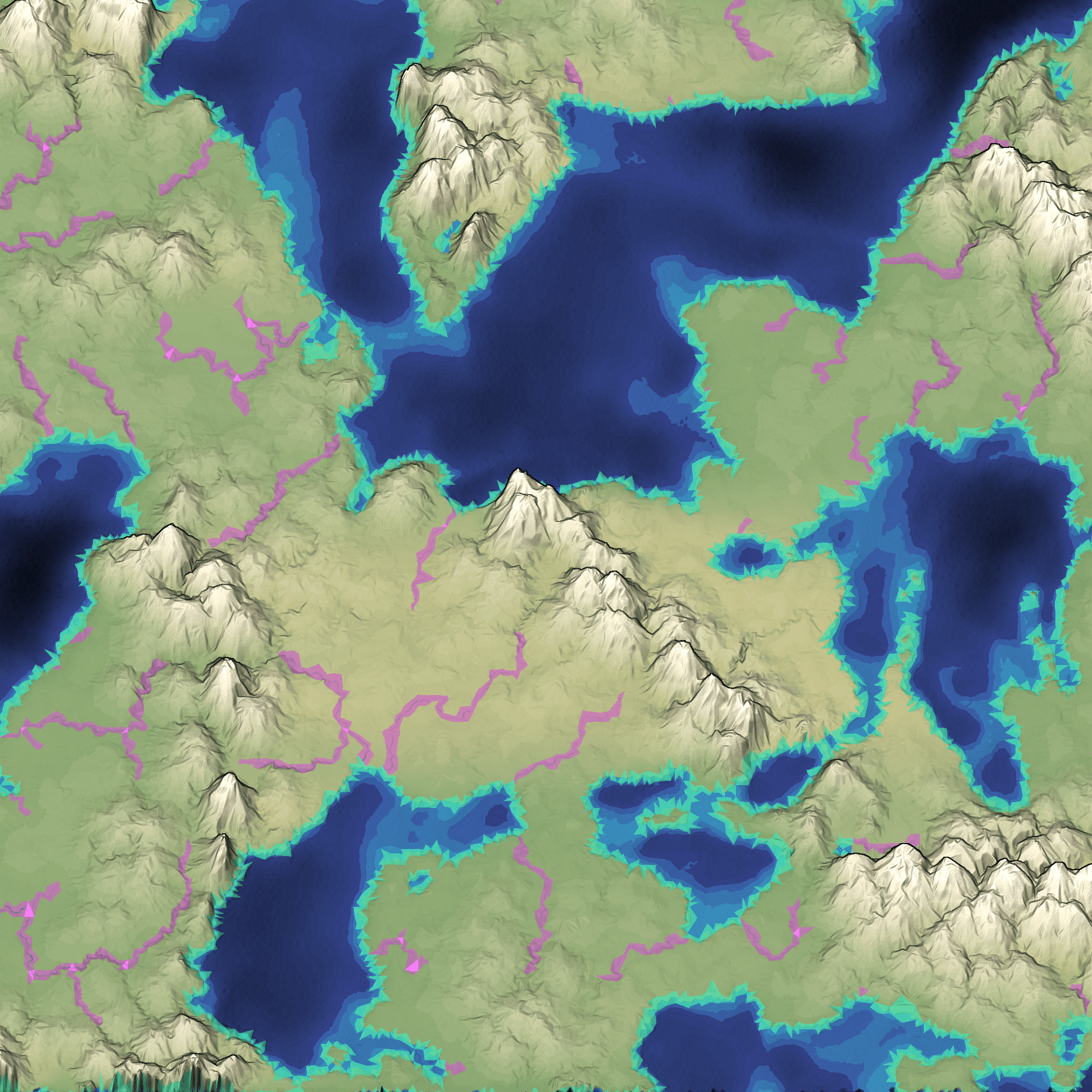
Earlier this week I moved all the heavy computation into its own thread. The rest of the week I wanted to work on rivers. The last time I worked on rivers, I replaced the slow CPU-based renderer with a fast GPU-based renderer. However, the output was ugly:
Mapgen4: threads #
Today I am making mapgen4 multithreaded. I'm trying to blog more often, so I'm putting my notes here instead of keeping them to myself.
Multithreaded Javascript? Yes, with Web Workers. I've known about these for a while but I've never used them until now. The basics:
- Web Workers are more like separate processes rather than threads. They have their own memory. Some browsers support shared memory but it's not something I can count on right now. Introduction and reference.
- Workers can communicate by sending a message to another worker. The message is a data-only object (no functions or resources). Details.
- You can also transfer data to another worker, if it's a contiguous array. This is particularly useful for large arrays of numbers such as WebGL data or, in my case, mapgen4 data including the Voronoi mesh. It avoids a copy.
I find that I learn best by reading a little bit and then playing with something. So I decided to make a simple worker and try it out.
Mapgen4: elevation painting #
Last week I described the plan for elevation in mapgen4. The goal was to allow painting mountains, valleys, and oceans on the map. I used a jittered grid to pick positions for mountain peaks, and then implemented three distance fields:
- Distance from closest mountain peak. I use this to create distinct mountains instead of noise-based continuous mountains.
- Distance from coastline. On the ocean side, I use this to make shallow water near the coast. On the land side, I use this to keep mountains away from coasts. (not sure I should)
- Distance from mountain ranges. I use this to make a gradual drop from mountains to valleys.
I continued optimizing. The main map regeneration is now around 400ms for the one-time initialization and 120ms to regenerate the map while painting. I implemented a simple paint interface, with small/medium/large brushes and ocean/valley/mountain tools. It works on touch devices too, and it feels pretty good on a tablet.